Search a property
Enter any U.S. address. We align the exact location with mapped zones and nearby observations.
Loading…
Loading, please wait.Property flood intelligence
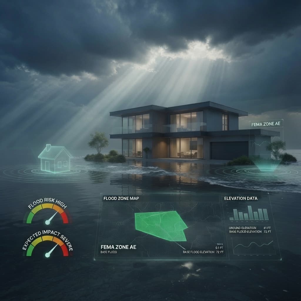
One address. A clear answer built from federal maps, rainfall history, nearby events, and how the land around a property is changing.
Use a full street address for the most precise property match.
A better decision in three steps
The answer comes first. The supporting data stays close enough to inspect, without turning your report into a wall of dashboards.
Enter any U.S. address. We align the exact location with mapped zones and nearby observations.
See what is known, what it means, and how confident the result is before you dive into details.
Verify map layers, historical events, rainfall, and development trends with sources and update dates.
Inside the full report
The full report connects the flood designation with the local conditions that can change how a property behaves during heavy rain.
Compare extreme-rain days, seasonal patterns, and recent events against a long-term local baseline.
See how much nearby ground is covered and whether that is changing, using one verified number everywhere it appears.
Review dated, location-checked events and community reports without unrelated regional noise.
$15 one time unlocks the full report for one address. This is a one-time purchase. It does not renew and does not start a subscription. Pro covers every address: $10/mo, or $8/mo with $96 billed annually.
View pricingLearn
Plain-English guides to FEMA flood zones, base flood elevation, and why homes flood where the map says they shouldn’t.
Yes. Property searches are unlimited on every plan, free included. You get the FEMA flood zone, the interactive map, and NWS alerts without paying anything.
Check an addressOne address, unlocked in full: rain and nearby-event history, development analysis, every available map layer, a downloadable PDF, and data that refreshes for 30 days. This is a one-time purchase. It does not renew and does not start a subscription.
See what is includedEvery full report, not just one: the hourly 48-hour precipitation chart, 10 years of history, the satellite timeline, the AI risk narrative, vulnerability detail, NFIP methodology, premium map layers, and PDF reports. Pro is $10 per month, or $8 per month billed annually at $96 per year.
Compare plansNo. Everything here is informational and is not a substitute for an official determination. For a decision that carries legal or lending weight, consult your local floodplain manager and official FEMA sources.
How we calculate riskDoes It Flood is built and operated by Random Llama Software. We are independent and are not affiliated with FEMA.
The basic flood report is free and takes less than a minute.